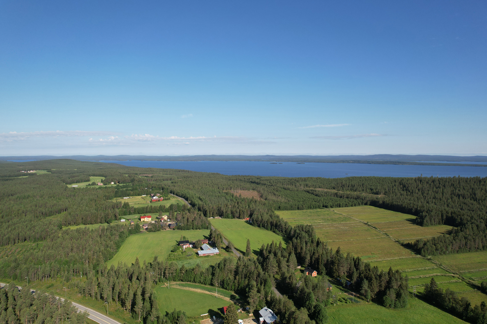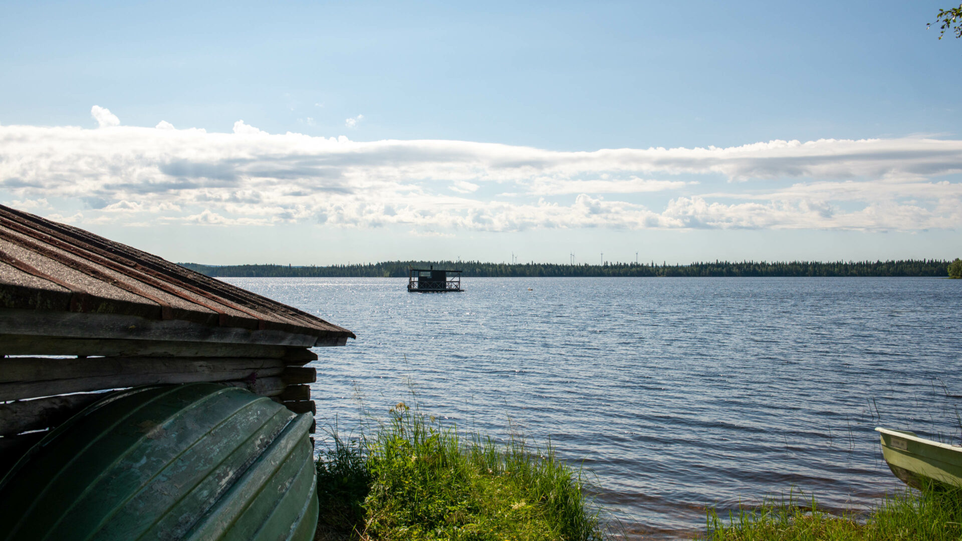
The landscape is dominated by Europe’s largest spring, Lake Kitkajärvi (240 m above sea level) on both sides of the village and Naatikkavaara (431 m above sea level) in the north.
Kouervaara trail 43 km
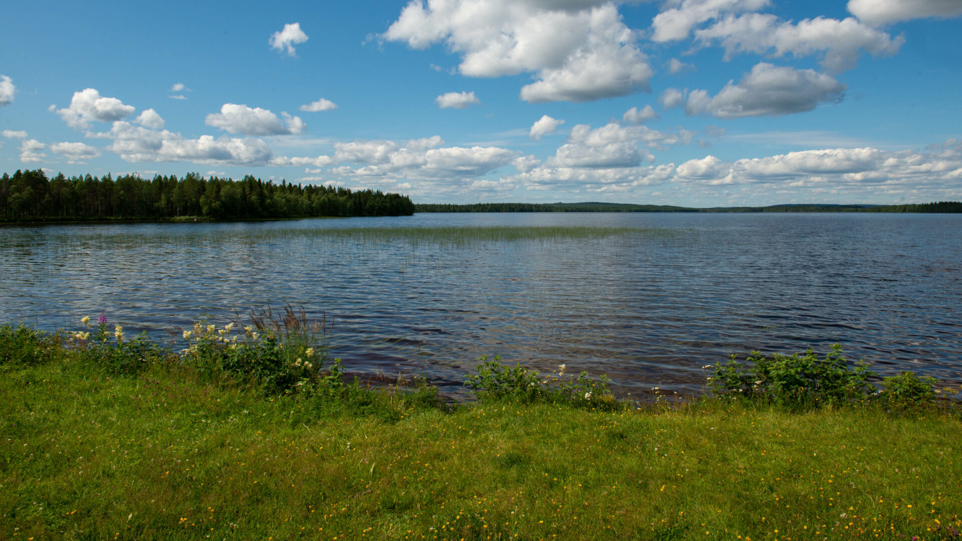
The 43-kilometer-long trail between the Oivanki Youth and Nature Tourism Center, the Naatikkavaara-Kouervaara area and Tapiolanranta, south of Ruka’s Kesäjärvi, is called the ribbon trail.
Kouer-Naatikkavaaran nature trail:
On the trail, you can get to know the marsh, grove, and spring flora. Lush fern meadows, lush fens and many species of orchids are typical of the area. (7334217:603869) Source: Kuusamon kasvien kirja, Anne Jäkäläniemi, Paula Koutaniemi).
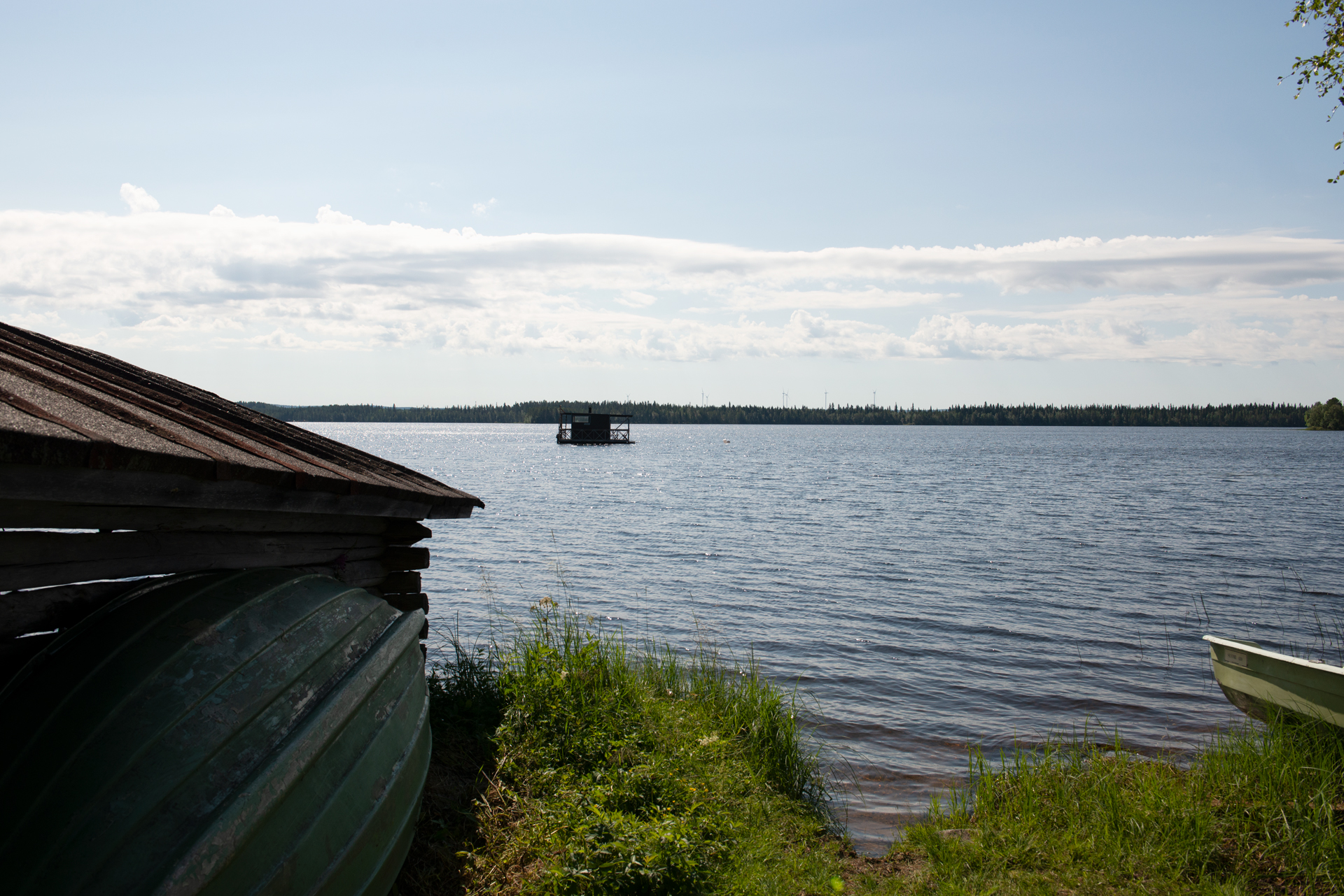
Ruoppijärvi
(66°02’43.3″N 28°49’26.9″E)
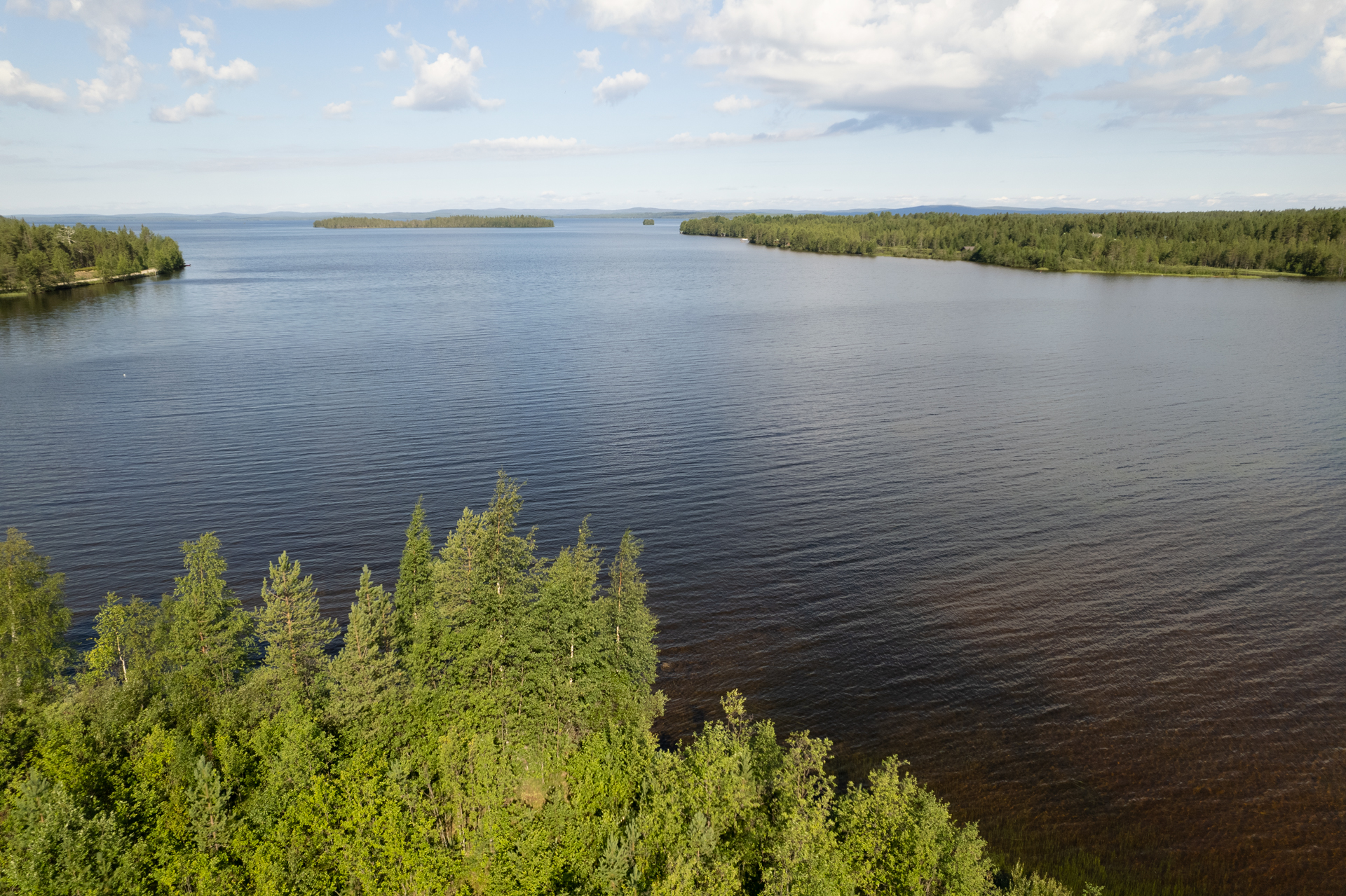
A lesser-known canyon-like lake with high cliffs rising from it, where the local climbing club has established climbing routes on one of the rock faces. The landscape offers an excellent day trip destination, which can be admired either from the water or by going up to the top of Ruoppivaara along the path. Ruoppivaara is known as the shooting location of nature photographer Hannu Hautala.
Vasaravaara rises to a height of 99 m. Below the hill are the Ronkonlampi, 20 m high rocks and a 20 m deep gorge-like canyon pond. From the pond rises the spectacular stone cliff Ronkonriutta, which is an ideal location for nature photography.